|
search place name
|
||
Metkaouak (Batna, Algeria)Metkaouak is a town in the Batna region of Algeria. An overview map of the region around Metkaouak is displayed below.
regional and 3d topo map of Metkaouak, Algeria ::

Metkaouak airports ::
The nearest airport is BSK - Biskra, located 81.4 km south east of Metkaouak.
Other airports nearby include BJA - Bejaja Soummam (149.4 km north), CZL - Constantine Mohamed Boudiaf Intl (164.3 km north east), GJL - Jijel (170.0 km north), ALG - Algier Houari Boumediene (230.2 km north west), Nearby towns ::
Mechta Ouled Abdallah (3.5km north) //
Mechta Taleb (5.1km north west) //
Mechta Ouled Abdallah (4.8km west) //
Mechta Derhamna (7.3km west) //
Mechta Aïadat (8.4km north west) //
[all distances 'as the bird flies' and approximate] 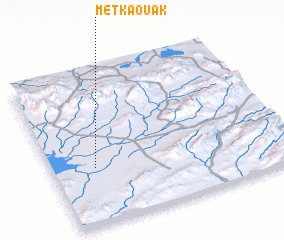 Places with similar names to Metkaouak, Algeria ::
// Mataguk (PH)
// Matékaga (TD)
// Motakik (TP)
// May Dokoki (NE)
// Modi Koko (SN)
// Mtakakaa (TZ)
// Mad Koka (PK)
// Madiko Koi (NG)
// Modakeke (NG)
// Moto Gaga (LR)
Disclaimer :: Information on this page comes without warranty of any kind |
||
|
Where is Metkaouak? Elevation and coordinates ::
Latitude (lat): 35°22'7"N Longitude (lon): 5°11'2"E
Elevation (approx.): 413m (map arrows pan, magnifying glasses zoom) |
||
|
Visiting Metkaouak? Hotel/Accommodation ::
Book a hotel in Metkaouak Travel Guide ::
Buy a travel guide for Algeria rental cars ::
car rental offers GPS waypoint ::
download a GPX waypoint (PoI) of Metkaouak for your GPS receiver
|
||