|
search place name
|
||
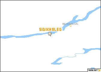
Sidi Khaled (Algeria)Sidi Khaled is a town in Algeria. An overview map of the region around Sidi Khaled is displayed below.
regional and 3d topo map of Sidi Khaled, Algeria ::
Sidi Khaled airports ::
The nearest airport is BSK - Biskra, located 81.6 km north east of Sidi Khaled.
Other airports nearby include TGR - Touggourt Sidi Mahdi (177.4 km south east), HRM - Tilrempt Hassi R Mel (224.7 km south west), GHA - Ghardaia Noumerat (248.5 km south west), CZL - Constantine Mohamed Boudiaf Intl (256.5 km north east), Nearby towns ::
Ouled Djellal (7.2km north east) //
[all distances 'as the bird flies' and approximate]  Places with similar names to Sidi Khaled, Algeria ::
// Sidi Khâled (DZ)
// Stockhult (SE)
Disclaimer :: Information on this page comes without warranty of any kind |
||
|
Where is Sidi Khaled? Elevation and coordinates ::
Latitude (lat): 34°23'0"N Longitude (lon): 5°0'0"E
Elevation (approx.): 210m (map arrows pan, magnifying glasses zoom) |
||
|
Visiting Sidi Khaled? Hotel/Accommodation ::
Book a hotel in Sidi Khaled Travel Guide ::
Buy a travel guide for Algeria rental cars ::
car rental offers GPS waypoint ::
download a GPX waypoint (PoI) of Sidi Khaled for your GPS receiver
|
||