|
search place name
|
||
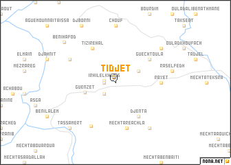
Tidjet (Algeria)Tidjet is a town in Algeria. An overview map of the region around Tidjet is displayed below.
regional and 3d topo map of Tidjet, Algeria ::
Tidjet airports ::
The nearest airport is BJA - Bejaja Soummam, located 45.2 km north of Tidjet.
Other airports nearby include GJL - Jijel (102.4 km north east), ALG - Algier Houari Boumediene (154.6 km west), CZL - Constantine Mohamed Boudiaf Intl (156.1 km east), BSK - Biskra (187.6 km south east), Nearby towns ::
Taourirt Tamelalt (1.5km west) //
Irhil el Khemis (1.5km west) //
El Koudia (2.4km south west) //
Mguerba (3.5km north east) //
Guenzet (4.3km west) //
Tizi Rehal (6.3km north west) //
Djenta (6.3km south east) //
Guechtoula (5.8km north east) //
Rayet (6.0km east) //
Mechta Reachla (7.6km south) //
Bordj Zemoura (7.8km south west) //
Aourir Ouelmi (7.0km north west) //
Mechta Chenafa (8.7km south east) //
Louta-n-Tkourt (8.2km north east) //
Tassamert (9.5km south west) //
Beni Hafod (9.3km north west) //
[all distances 'as the bird flies' and approximate] 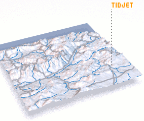 Places with similar names to Tidjet, Algeria :: Disclaimer :: Information on this page comes without warranty of any kind |
||
|
Where is Tidjet? Elevation and coordinates ::
Latitude (lat): 36°20'0"N Longitude (lon): 4°53'0"E
Elevation (approx.): 1094m (map arrows pan, magnifying glasses zoom) |
||
|
Visiting Tidjet? Hotel/Accommodation ::
Book a hotel in Tidjet Travel Guide ::
Buy a travel guide for Algeria rental cars ::
car rental offers GPS waypoint ::
download a GPX waypoint (PoI) of Tidjet for your GPS receiver
|
||