|
search place name
|
||
Alterosa (Minas Gerais, Brazil)Alterosa is a town in the Minas Gerais region of Brazil. An overview map of the region around Alterosa is displayed below.
regional and 3d topo map of Alterosa, Brazil ::

Alterosa airports ::
The nearest airport is VAG - Varginha Major Brigadeiro Trompowsky, located 78.1 km south east of Alterosa.
Other airports nearby include POO - Pocos De Caldas (79.6 km south west), QPS - Piracununga Campo Fontenelle (148.6 km south west), RAO - Ribeirao Preto Leite Lopes (170.9 km west), AQA - Araracuara Araraquara (216.3 km west), Nearby towns ::
[all distances 'as the bird flies' and approximate] 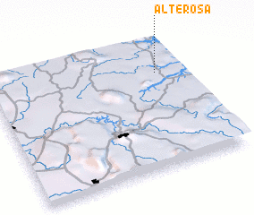 Places with similar names to Alterosa, Brazil ::
// Alderiz (PT)
// Aldriz (PT)
// Altares (PT)
// Aldearraso (ES)
// Al Idrīsī (IQ)
// ‘Alī Darzī (IR)
// Alt Rehse (DE)
// Aliđerce (CS)
// Alturas (US)
// Alturas (US)
Disclaimer :: Information on this page comes without warranty of any kind |
||
|
Where is Alterosa? Elevation and coordinates ::
Latitude (lat): 21°15'0"S Longitude (lon): 46°8'0"W
Elevation (approx.): 839m (map arrows pan, magnifying glasses zoom) |
||
|
Visiting Alterosa? Hotel/Accommodation ::
Book a hotel in Alterosa Travel Guide ::
Buy a travel guide for Brazil rental cars ::
car rental offers GPS waypoint ::
download a GPX waypoint (PoI) of Alterosa for your GPS receiver
|
||