|
search place name
|
||
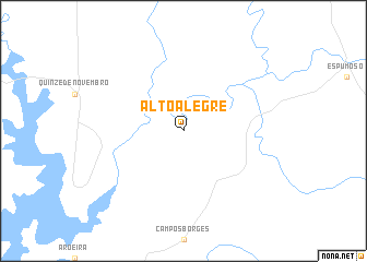
Alto Alegre (Rio Grande do Sul, Brazil)Alto Alegre is a town in the Rio Grande do Sul region of Brazil. An overview map of the region around Alto Alegre is displayed below.
regional and 3d topo map of Alto Alegre, Brazil ::
Alto Alegre airports ::
The nearest airport is PFB - Passo Fundo Lauro Kurtz, located 89.0 km north east of Alto Alegre.
Other airports nearby include STM - Santarem Santa Maria (122.7 km south west), GEL - Santo Angelo (127.2 km north west), CXJ - Caxias Do Sul Campo Dos Bugres (182.5 km east), XAP - Chapeco (185.9 km north), Nearby towns ::
[all distances 'as the bird flies' and approximate] 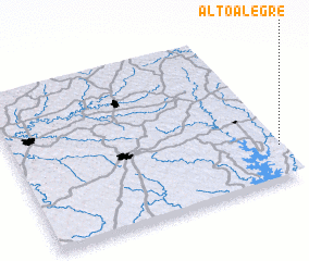 Places with similar names to Alto Alegre, Brazil ::
// Alto Alegre (VE)
// Alto Alegre (BR)
// Alto Alegre (BR)
// Alto Alegre (BR)
// Alto Alegre (BR)
// Alto Alegre (BR)
// Alto Alegre (BR)
// Alto Alegre (AR)
// Alto Alegre (AR)
// Alto Alegre (BR)
Disclaimer :: Information on this page comes without warranty of any kind |
||
|
Where is Alto Alegre? Elevation and coordinates ::
Latitude (lat): 28°47'0"S Longitude (lon): 53°0'0"W
Elevation (approx.): 352m (map arrows pan, magnifying glasses zoom) |
||
|
Visiting Alto Alegre? Hotel/Accommodation ::
Book a hotel in Alto Alegre Travel Guide ::
Buy a travel guide for Brazil rental cars ::
car rental offers GPS waypoint ::
download a GPX waypoint (PoI) of Alto Alegre for your GPS receiver
|
||