|
search place name
|
||
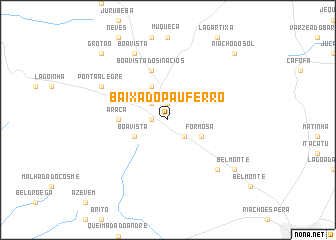
Baixa do Pau Ferro (Pernambuco, Brazil)Baixa do Pau Ferro is a town in the Pernambuco region of Brazil. An overview map of the region around Baixa do Pau Ferro is displayed below.
regional and 3d topo map of Baixa do Pau Ferro, Brazil ::
Baixa do Pau Ferro airports ::
The nearest airport is MCZ - Maceio Zumbi Dos Palmares, located 122.5 km south east of Baixa do Pau Ferro.
Other airports nearby include CPV - Campina Grande Presidente Joao Suassuna (183.6 km north east), PAV - Paulo Alfonso Paulo Afonso (192.8 km west), REC - Recife Guararapes Gilberto Freyre Intl (199.5 km east), JPA - Joao Pessoa Presidente Castro Pinto (256.5 km north east), Nearby towns ::
Caetés (1.8km west) //
Mata da Serra (1.9km north) //
Capoeiras (2.6km north west) //
Ramalho (2.6km south east) //
Boa Vista (4.1km south west) //
Curral Queimado (4.1km north west) //
Formosa (4.1km south east) //
Araçá (5.5km west) //
Boa Vista dos Inácios (5.9km north) //
Riacho Fundo (7.8km south east) //
Ponta Alegre (8.2km north west) //
Boa Vista (8.3km north west) //
Belmonte (9.2km south east) //
Grotão (10.4km north west) //
Riacho do Sol (10.4km north east) //
[all distances 'as the bird flies' and approximate] 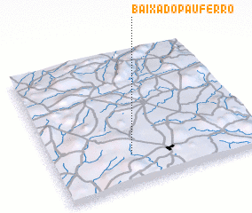 Places with similar names to Baixa do Pau Ferro, Brazil :: Disclaimer :: Information on this page comes without warranty of any kind |
||
|
Where is Baixa do Pau Ferro? Elevation and coordinates ::
Latitude (lat): 8°46'0"S Longitude (lon): 36°37'0"W
Elevation (approx.): 851m (map arrows pan, magnifying glasses zoom) |
||
|
Visiting Baixa do Pau Ferro? Hotel/Accommodation ::
Book a hotel in Baixa do Pau Ferro Travel Guide ::
Buy a travel guide for Brazil rental cars ::
car rental offers GPS waypoint ::
download a GPX waypoint (PoI) of Baixa do Pau Ferro for your GPS receiver
|
||