|
search place name
|
||
Barra do Turvo (São Paulo, Brazil)Barra do Turvo is a town in the São Paulo region of Brazil. An overview map of the region around Barra do Turvo is displayed below.
regional and 3d topo map of Barra do Turvo, Brazil ::

Barra do Turvo airports ::
The nearest airport is BFH - Curitiba Bacacheri, located 103.5 km south west of Barra do Turvo.
Other airports nearby include CWB - Curitiba Afonso Pena (109.9 km south west), JOI - Joinville Lauro Carneiro De Loyola (166.1 km south), CGH - Sao Paulo Congonhas (225.0 km north east), VCP - Campinas Viracopos (237.9 km north east), Nearby towns ::
[all distances 'as the bird flies' and approximate] 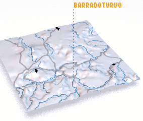 Places with similar names to Barra do Turvo, Brazil ::
// Brotdorf (DE)
Disclaimer :: Information on this page comes without warranty of any kind |
||
|
Where is Barra do Turvo? Elevation and coordinates ::
Latitude (lat): 24°45'0"S Longitude (lon): 48°30'0"W
Elevation (approx.): 164m (map arrows pan, magnifying glasses zoom) |
||
|
Visiting Barra do Turvo? Hotel/Accommodation ::
Book a hotel in Barra do Turvo Travel Guide ::
Buy a travel guide for Brazil rental cars ::
car rental offers GPS waypoint ::
download a GPX waypoint (PoI) of Barra do Turvo for your GPS receiver
|
||