|
search place name
|
||
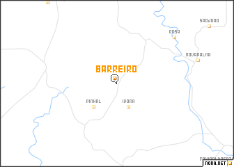
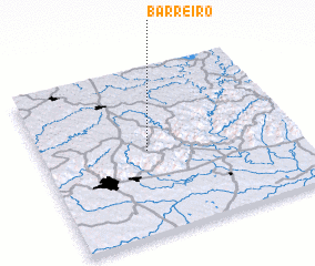
Barreiro (Rio Grande do Sul, Brazil)Barreiro is a town in the Rio Grande do Sul region of Brazil. An overview map of the region around Barreiro is displayed below.
regional and 3d topo map of Barreiro, Brazil ::
Barreiro airports ::
The nearest airport is STM - Santarem Santa Maria, located 25.5 km south west of Barreiro.
Other airports nearby include GEL - Santo Angelo (146.6 km north west), PFB - Passo Fundo Lauro Kurtz (185.5 km north east), BGX - Bage Comandante Gustavo Kraemer (215.7 km south), Nearby towns ::
 Places with similar names to Barreiro, Brazil ::
Disclaimer :: Information on this page comes without warranty of any kind |
||
|
Where is Barreiro? Elevation and coordinates ::
Latitude (lat): 29°30'0"S Longitude (lon): 53°35'0"W
Elevation (approx.): 344m (map arrows pan, magnifying glasses zoom) |
||
|
Visiting Barreiro? Hotel/Accommodation ::
Book a hotel in Barreiro Travel Guide ::
Buy a travel guide for Brazil rental cars ::
car rental offers GPS waypoint ::
download a GPX waypoint (PoI) of Barreiro for your GPS receiver
|
||