|
search place name
|
||
Caraíbas (Piauí, Brazil)Caraíbas is a town in the Piauí region of Brazil. An overview map of the region around Caraíbas is displayed below.
regional and 3d topo map of Caraíbas, Brazil ::

Caraíbas airports ::
The nearest airport is THE - Teresina Senador Petronio Portella, located 144.7 km south west of Caraíbas.
Nearby towns ::
Baixa Fria (1.6km north east) //
Lagoa da Serra (2.7km south) //
Lagoa do Barro (3.1km north west) //
Saco (3.5km south east) //
Sapucaia (3.9km east) //
Cocal da Ilha (4.8km south west) //
Tabuleirinho (5.2km north west) //
Pau-DʼArco (5.4km east) //
João Paz (6.3km north east) //
Mato Alto (6.4km south west) //
Guaribas (6.6km south east) //
Bom-Assunto (6.7km south west) //
Vermelho (6.8km west) //
Barreira Branca (7.0km north west) //
Riacho Fundo (7.1km south west) //
Aposento (7.2km south east) //
Cachoeira do Sapateiro (7.3km east) //
Bela Vista (7.5km west) //
Extrema (7.9km north east) //
Lagoa (7.9km north east) //
Cocos (8.2km west) //
Pau Ferrado (8.2km west) //
Palmeira (8.4km north) //
Prazeres (8.6km east) //
Esperantina (8.6km north west) //
Araioses (8.7km south west) //
Massapê (9.0km north) //
Brejo (9.1km south east) //
Anjinho (9.2km east) //
[all distances 'as the bird flies' and approximate] 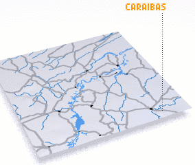 Places with similar names to Caraíbas, Brazil ::
Disclaimer :: Information on this page comes without warranty of any kind |
||
|
Where is Caraíbas? Elevation and coordinates ::
Latitude (lat): 3°55'56"S Longitude (lon): 42°9'45"W
Elevation (approx.): 75m (map arrows pan, magnifying glasses zoom) |
||
|
Visiting Caraíbas? Hotel/Accommodation ::
Book a hotel in Caraíbas Travel Guide ::
Buy a travel guide for Brazil rental cars ::
car rental offers GPS waypoint ::
download a GPX waypoint (PoI) of Caraíbas for your GPS receiver
|
||