|
search place name
|
||
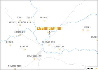
César de Pina (Minas Gerais, Brazil)César de Pina is a town in the Minas Gerais region of Brazil. An overview map of the region around César de Pina is displayed below.
regional and 3d topo map of César de Pina, Brazil ::
César de Pina airports ::
The nearest airport is JDF - Juiz De Fora Francisco De Assis, located 117.7 km south east of César de Pina.
Other airports nearby include PLU - Belo Horizonte Pampulha Carlos Drummond De Andrade (137.4 km north), VAG - Varginha Major Brigadeiro Trompowsky (142.7 km south west), CNF - Belo Horizonte Tancredo Neves Intl (160.7 km north), STU - Rio De Janeiro Santa Cruz (212.9 km south), Nearby towns ::
Águas Santas (3.7km south) //
Coroas (5.8km north) //
Tiradentes (6.5km south east) //
Glória (8.9km north west) //
[all distances 'as the bird flies' and approximate] 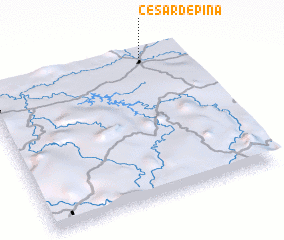 Places with similar names to César de Pina, Brazil :: Disclaimer :: Information on this page comes without warranty of any kind |
||
|
Where is César de Pina? Elevation and coordinates ::
Latitude (lat): 21°4'0"S Longitude (lon): 44°13'0"W
Elevation (approx.): 911m (map arrows pan, magnifying glasses zoom) |
||
|
Visiting César de Pina? Hotel/Accommodation ::
Book a hotel in César de Pina Travel Guide ::
Buy a travel guide for Brazil rental cars ::
car rental offers GPS waypoint ::
download a GPX waypoint (PoI) of César de Pina for your GPS receiver
|
||