|
search place name
|
||
Itaporanga (São Paulo, Brazil)Itaporanga is a town in the São Paulo region of Brazil. An overview map of the region around Itaporanga is displayed below.
regional and 3d topo map of Itaporanga, Brazil ::

Itaporanga airports ::
The nearest airport is BAU - Bauru, located 156.4 km north of Itaporanga.
Other airports nearby include LDB - Londrina (173.0 km west), BFH - Curitiba Bacacheri (190.6 km south), CWB - Curitiba Afonso Pena (204.9 km south), AQA - Araracuara Araraquara (250.9 km north east), Nearby towns ::
Samambaia (8.8km north west) //
[all distances 'as the bird flies' and approximate] 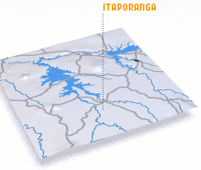 Places with similar names to Itaporanga, Brazil ::
// Itupiranga (BR)
// Itapuranga (BR)
// Itaporanga (BR)
// Itapiranga (BR)
// Itapiranga (BR)
// Itapiranga (BR)
// Itaporanga (BR)
// Itaporanga (BR)
// Itapuranga (BR)
// Ituporanga (BR)
Disclaimer :: Information on this page comes without warranty of any kind |
||
|
Where is Itaporanga? Elevation and coordinates ::
Latitude (lat): 23°42'0"S Longitude (lon): 49°29'0"W
Elevation (approx.): 532m (map arrows pan, magnifying glasses zoom) |
||
|
Visiting Itaporanga? Hotel/Accommodation ::
Book a hotel in Itaporanga Travel Guide ::
Buy a travel guide for Brazil rental cars ::
car rental offers GPS waypoint ::
download a GPX waypoint (PoI) of Itaporanga for your GPS receiver
|
||