|
search place name
|
||
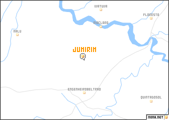
Jumirim (Parana, Brazil)Jumirim is a town in the Parana region of Brazil. An overview map of the region around Jumirim is displayed below.
regional and 3d topo map of Jumirim, Brazil ::
Jumirim airports ::
The nearest airport is MGF - Regional De Maringa Silvio Name Junior, located 35.7 km north east of Jumirim.
Other airports nearby include LDB - Londrina (122.0 km east), PPB - President Prudente Presidente Prudente (190.6 km north east), CAC - Cascavel (190.6 km south west), Nearby towns ::
Engenheiro Beltrão (7.4km south) //
Rio Claro (8.2km north east) //
[all distances 'as the bird flies' and approximate] 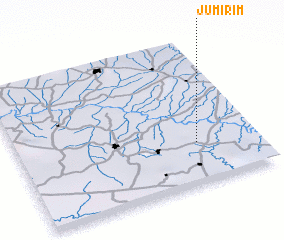
Disclaimer :: Information on this page comes without warranty of any kind |
||
|
Where is Jumirim? Elevation and coordinates ::
Latitude (lat): 23°43'0"S Longitude (lon): 52°15'0"W
Elevation (approx.): 366m (map arrows pan, magnifying glasses zoom) |
||
|
Visiting Jumirim? Hotel/Accommodation ::
Book a hotel in Jumirim Travel Guide ::
Buy a travel guide for Brazil rental cars ::
car rental offers GPS waypoint ::
download a GPX waypoint (PoI) of Jumirim for your GPS receiver
|
||