|
search place name
|
||
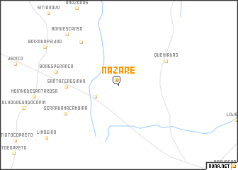
Nazaré (Rio Grande do Norte, Brazil)Nazaré is a town in the Rio Grande do Norte region of Brazil. An overview map of the region around Nazaré is displayed below.
regional and 3d topo map of Nazaré, Brazil ::
Nazaré airports ::
The nearest airport is NAT - Natal Augusto Severo, located 96.2 km south east of Nazaré.
Other airports nearby include CPV - Campina Grande Presidente Joao Suassuna (206.9 km south), JPA - Joao Pessoa Presidente Castro Pinto (222.7 km south east), Nearby towns ::
Poço Cabeço Prêto (4.1km south west) //
Santa Teresinha (8.2km west) //
Queimadas (8.3km north east) //
Trinta de Quatro (9.0km north west) //
Serra da Macambira (9.5km south west) //
Bom Descanso (11.4km north west) //
[all distances 'as the bird flies' and approximate] 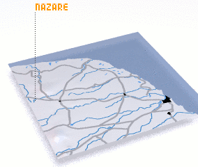 Places with similar names to Nazaré, Brazil ::
Disclaimer :: Information on this page comes without warranty of any kind |
||
|
Where is Nazaré? Elevation and coordinates ::
Latitude (lat): 5°24'0"S Longitude (lon): 35°57'0"W
Elevation (approx.): 149m (map arrows pan, magnifying glasses zoom) |
||
|
Visiting Nazaré? Hotel/Accommodation ::
Book a hotel in Nazaré Travel Guide ::
Buy a travel guide for Brazil rental cars ::
car rental offers GPS waypoint ::
download a GPX waypoint (PoI) of Nazaré for your GPS receiver
|
||