|
search place name
|
||
Pôrto Zinico (São Paulo, Brazil)Pôrto Zinico is a town in the São Paulo region of Brazil. An overview map of the region around Pôrto Zinico is displayed below.
regional and 3d topo map of Pôrto Zinico, Brazil ::

Pôrto Zinico airports ::
The nearest airport is UBA - Uberaba, located 78.9 km north east of Pôrto Zinico.
Other airports nearby include SJP - Sao Jose Do Rio Preto (111.6 km south west), RAO - Ribeirao Preto Leite Lopes (127.3 km south east), UDI - Uberlandia Ten Cel Av Cesar Bombonato (152.9 km north), AQA - Araracuara Araraquara (179.7 km south), Nearby towns ::
[all distances 'as the bird flies' and approximate] 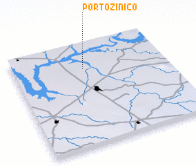 Places with similar names to Pôrto Zinico, Brazil ::
// Prądzonka (PL)
// Prędocinek (PL)
// Prouts Neck (US)
// Partīzanka (KZ)
// Puerto sin Agua (MX)
// Partizanka (KZ)
// Pratsounik (BY)
Disclaimer :: Information on this page comes without warranty of any kind |
||
|
Where is Pôrto Zinico? Elevation and coordinates ::
Latitude (lat): 20°14'0"S Longitude (lon): 48°32'0"W
Elevation (approx.): 448m (map arrows pan, magnifying glasses zoom) |
||
|
Visiting Pôrto Zinico? Hotel/Accommodation ::
Book a hotel in Pôrto Zinico Travel Guide ::
Buy a travel guide for Brazil rental cars ::
car rental offers GPS waypoint ::
download a GPX waypoint (PoI) of Pôrto Zinico for your GPS receiver
|
||