|
search place name
|
||
Rama-Rama (Rondônia, Brazil)Rama-Rama is a town in the Rondônia region of Brazil. An overview map of the region around Rama-Rama is displayed below.
regional and 3d topo map of Rama-Rama, Brazil ::

Rama-Rama airports ::
The nearest airport is PVH - Porto Velho Governador Jorge Teixeira De Oliveira, located 218.5 km west of Rama-Rama.
Nearby towns ::
[all distances 'as the bird flies' and approximate] 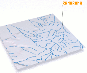 Places with similar names to Rama-Rama, Brazil ::
// Rumah Rima (MY)
// Rumah Ruma (MY)
// Ramarama (NZ)
// Rāmrāma (BD)
// Ramaram (IN)
// Rāmāram (IN)
// Ramrama (IN)
// Rāmrām (PK)
// Rumi Rumi (PE)
// Rumbarumba (ID)
Disclaimer :: Information on this page comes without warranty of any kind |
||
|
Where is Rama-Rama? Elevation and coordinates ::
Latitude (lat): 9°20'0"S Longitude (lon): 62°1'0"W
Elevation (approx.): 152m (map arrows pan, magnifying glasses zoom) |
||
|
Visiting Rama-Rama? Hotel/Accommodation ::
Book a hotel in Rama-Rama Travel Guide ::
Buy a travel guide for Brazil rental cars ::
car rental offers GPS waypoint ::
download a GPX waypoint (PoI) of Rama-Rama for your GPS receiver
|
||