|
search place name
|
||
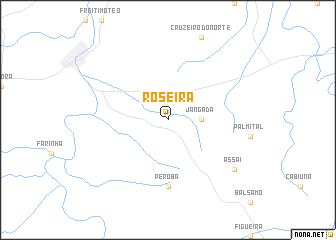
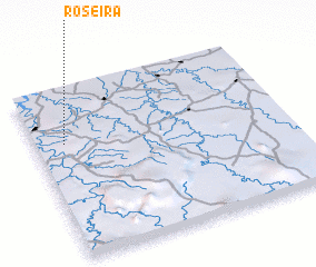
Roseira (Parana, Brazil)Roseira is a town in the Parana region of Brazil. An overview map of the region around Roseira is displayed below.
regional and 3d topo map of Roseira, Brazil ::
Roseira airports ::
The nearest airport is LDB - Londrina, located 25.3 km west of Roseira.
Other airports nearby include MGF - Regional De Maringa Silvio Name Junior (117.2 km west), PPB - President Prudente Presidente Prudente (138.1 km north west), BAU - Bauru (216.4 km north east), LIP - Lins (218.1 km north east), Nearby towns ::
 Places with similar names to Roseira, Brazil ::
Disclaimer :: Information on this page comes without warranty of any kind |
||
|
Where is Roseira? Elevation and coordinates ::
Latitude (lat): 23°19'0"S Longitude (lon): 50°53'0"W
Elevation (approx.): 482m (map arrows pan, magnifying glasses zoom) |
||
|
Visiting Roseira? Hotel/Accommodation ::
Book a hotel in Roseira Travel Guide ::
Buy a travel guide for Brazil rental cars ::
car rental offers GPS waypoint ::
download a GPX waypoint (PoI) of Roseira for your GPS receiver
|
||