|
search place name
|
||
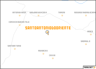
Santo Antônio do Oriente (Espírito Santo, Brazil)Santo Antônio do Oriente is a town in the Espírito Santo region of Brazil. An overview map of the region around Santo Antônio do Oriente is displayed below.
regional and 3d topo map of Santo Antônio do Oriente, Brazil ::
Santo Antônio do Oriente airports ::
The nearest airport is VIX - Vitoria Goiabeiras, located 91.5 km east of Santo Antônio do Oriente.
Other airports nearby include CAW - Campos Bartolomeu Lisandro (144.6 km south), IPN - Ipatinga Usiminas (173.8 km north west), Nearby towns ::
Pindoba (0.0km north) //
Povoação (7.6km south) //
São João de Viçosa (8.2km north west) //
Tapera (9.1km north east) //
[all distances 'as the bird flies' and approximate] 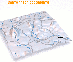 Places with similar names to Santo Antônio do Oriente, Brazil :: Disclaimer :: Information on this page comes without warranty of any kind |
||
|
Where is Santo Antônio do Oriente? Elevation and coordinates ::
Latitude (lat): 20°24'0"S Longitude (lon): 41°9'0"W
Elevation (approx.): 865m (map arrows pan, magnifying glasses zoom) |
||
|
Visiting Santo Antônio do Oriente? Hotel/Accommodation ::
Book a hotel in Santo Antônio do Oriente Travel Guide ::
Buy a travel guide for Brazil rental cars ::
car rental offers GPS waypoint ::
download a GPX waypoint (PoI) of Santo Antônio do Oriente for your GPS receiver
|
||