|
search place name
|
||
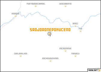
São João Nepomuceno (Minas Gerais, Brazil)São João Nepomuceno is a town in the Minas Gerais region of Brazil. An overview map of the region around São João Nepomuceno is displayed below.
regional and 3d topo map of São João Nepomuceno, Brazil ::
São João Nepomuceno airports ::
The nearest airport is JDF - Juiz De Fora Francisco De Assis, located 46.7 km south west of São João Nepomuceno.
Other airports nearby include GIG - Rio De Janeiro Galeao Antonio Carlos Jobim (141.4 km south), SDU - Rio De Janeiro Santos Dumont (151.4 km south), STU - Rio De Janeiro Santa Cruz (169.3 km south west), CAW - Campos Bartolomeu Lisandro (178.3 km east), Nearby towns ::
Roça Grande (7.6km south east) //
[all distances 'as the bird flies' and approximate] 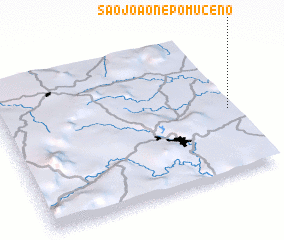 Places with similar names to São João Nepomuceno, Brazil :: Disclaimer :: Information on this page comes without warranty of any kind |
||
|
Where is São João Nepomuceno? Elevation and coordinates ::
Latitude (lat): 21°33'0"S Longitude (lon): 43°1'0"W
Elevation (approx.): 418m (map arrows pan, magnifying glasses zoom) |
||
|
Visiting São João Nepomuceno? Hotel/Accommodation ::
Book a hotel in São João Nepomuceno Travel Guide ::
Buy a travel guide for Brazil rental cars ::
car rental offers GPS waypoint ::
download a GPX waypoint (PoI) of São João Nepomuceno for your GPS receiver
|
||