|
search place name
|
||
Utinga (Bahia, Brazil)Utinga is a town in the Bahia region of Brazil. An overview map of the region around Utinga is displayed below.
regional and 3d topo map of Utinga, Brazil ::

Utinga airports ::
The nearest airport is SSA - Salvador Deputado Luis Eduardo Magalhaes, located 73.8 km east of Utinga.
Other airports nearby include IOS - Ilheus (184.5 km south), Nearby towns ::
Caípe (1.8km east) //
Garibé (2.6km north west) //
Má Vida (3.6km east) //
Piedade (5.6km north) //
Pôrto da Espada (5.6km north) //
Caboclo de Fora (5.8km south) //
Rio dos Paus (5.8km south) //
Cainema (5.8km north) //
Olaria (5.7km west) //
Bernardo (5.7km west) //
Camassandi (6.6km south west) //
Barra do Jequiriçá (6.6km south east) //
São João (6.6km south east) //
Pedra (7.4km south) //
Coitos de Cima (7.2km east) //
Outeiro Mata-Fome (7.6km north) //
Teresa (7.8km south east) //
Jaguaribe (8.1km north east) //
Penha (8.1km north east) //
Aratuípe (8.2km north west) //
Itapecerica (9.1km south east) //
Aldeia (9.2km north west) //
[all distances 'as the bird flies' and approximate] 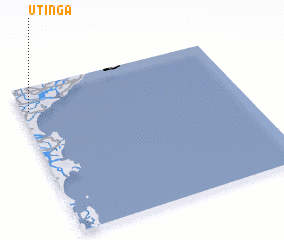 Places with similar names to Utinga, Brazil ::
Disclaimer :: Information on this page comes without warranty of any kind |
||
|
Where is Utinga? Elevation and coordinates ::
Latitude (lat): 13°9'0"S Longitude (lon): 38°58'0"W
Elevation (approx.): 30m (map arrows pan, magnifying glasses zoom) |
||
|
Visiting Utinga? Hotel/Accommodation ::
Book a hotel in Utinga Travel Guide ::
Buy a travel guide for Brazil rental cars ::
car rental offers GPS waypoint ::
download a GPX waypoint (PoI) of Utinga for your GPS receiver
|
||