|
search place name
|
||
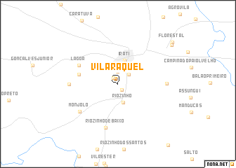
Vila Raquel (Parana, Brazil)Vila Raquel is a town in the Parana region of Brazil. An overview map of the region around Vila Raquel is displayed below.
regional and 3d topo map of Vila Raquel, Brazil ::
Vila Raquel airports ::
The nearest airport is BFH - Curitiba Bacacheri, located 144.2 km east of Vila Raquel.
Other airports nearby include CWB - Curitiba Afonso Pena (149.3 km east), JOI - Joinville Lauro Carneiro De Loyola (202.9 km south east), XAP - Chapeco (268.5 km south west), Nearby towns ::
Engenheiro Gutierrez (1.1km south east) //
Bairro da Lagoa (1.1km north west) //
Irati Velho (1.2km north west) //
Bairro da Lagoa (2.0km north) //
Vila São Jão (2.1km north east) //
Riozinho (3.0km south) //
Irati (3.9km north) //
Rio Corrente Segundo (5.7km west) //
Lagoa (6.3km north west) //
Riozinho de Baixo (7.2km south) //
Monjolo (7.1km south west) //
Colônia São Lourenço (7.0km east) //
Rio Corrente Primeiro (7.0km west) //
Estação Experimental (9.9km north east) //
Florestal (10.2km north east) //
[all distances 'as the bird flies' and approximate] 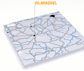 Places with similar names to Vila Raquel, Brazil ::
// Villa Raquel (CU)
// Valea Racului (RO)
// Villarquille (ES)
// Villarroquel (ES)
// Villa Raquel (CO)
// Villa Raquel (CO)
Disclaimer :: Information on this page comes without warranty of any kind |
||
|
Where is Vila Raquel? Elevation and coordinates ::
Latitude (lat): 25°30'34"S Longitude (lon): 50°39'39"W
Elevation (approx.): 845m (map arrows pan, magnifying glasses zoom) |
||
|
Visiting Vila Raquel? Hotel/Accommodation ::
Book a hotel in Vila Raquel Travel Guide ::
Buy a travel guide for Brazil rental cars ::
car rental offers GPS waypoint ::
download a GPX waypoint (PoI) of Vila Raquel for your GPS receiver
|
||