|
search place name
|
||
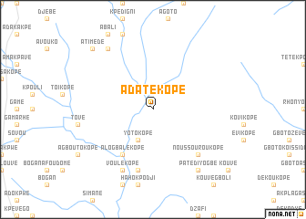
Adaté Kopé (Togo)Adaté Kopé is a town in Togo. An overview map of the region around Adaté Kopé is displayed below.
regional and 3d topo map of Adaté Kopé, Togo ::
Adaté Kopé airports ::
The nearest airport is LFW - Lome Gnassingbe Eyadema Intl, located 63.4 km south of Adaté Kopé.
Other airports nearby include COO - Cotonou Cadjehoun (123.5 km east), ACC - Accra Kotoka Intl (207.7 km south west), LOS - Lagos Murtala Muhammed (220.5 km east), Nearby towns ::
Yoto Kopé (4.1km south west) //
Alogbalé Kopé (6.7km south west) //
Gbenblévé (7.6km south) //
Noussouroukopé (7.8km south east) //
Voulè Kopé (8.3km south west) //
Paté Diyogbé (9.2km south east) //
Atimé (9.2km north west) //
Atimédé (10.4km north west) //
[all distances 'as the bird flies' and approximate] 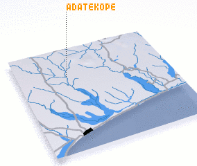 Places with similar names to Adaté Kopé, Togo ::
// Adidokope (GH)
// Adidokpe (GH)
// Adidokpo (GH)
// Adidokpoe (GH)
// Adotokope (GH)
// Atawtawkope (GH)
// Atitekpe (GH)
// Atitekpo (GH)
// Adéti-Kopé (TG)
// Atité Kopé (TG)
Disclaimer :: Information on this page comes without warranty of any kind |
||
|
Where is Adaté Kopé? Elevation and coordinates ::
Latitude (lat): 6°44'0"N Longitude (lon): 1°20'0"E
Elevation (approx.): 78m (map arrows pan, magnifying glasses zoom) |
||
|
Visiting Adaté Kopé? Hotel/Accommodation ::
Book a hotel in Adaté Kopé Travel Guide ::
Buy a travel guide for Togo rental cars ::
car rental offers GPS waypoint ::
download a GPX waypoint (PoI) of Adaté Kopé for your GPS receiver
|
||