|
search place name
|
||
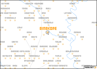
Aïnakopé (Togo)Aïnakopé is a town in Togo. An overview map of the region around Aïnakopé is displayed below.
regional and 3d topo map of Aïnakopé, Togo ::
Aïnakopé airports ::
The nearest airport is LFW - Lome Gnassingbe Eyadema Intl, located 167.9 km south of Aïnakopé.
Other airports nearby include COO - Cotonou Cadjehoun (195.3 km south east), Nearby towns ::
Kpéhoum (1.8km west) //
Diamoukopé (1.8km west) //
Késévé (2.6km south east) //
Alamassou (3.7km east) //
Yovokodji (3.7km north) //
Todjaï (5.2km south east) //
Abassakopé (5.6km north) //
Pédigbé (5.5km east) //
Odjoubo (5.9km south) //
Bouto (5.8km west) //
Agouné (5.8km west) //
Aoudomo (5.8km east) //
Awagomé (5.9km south) //
Kabrékopé (5.9km north) //
Gakopé (6.7km south east) //
Agbafrou (6.6km south east) //
Akpakopé (7.4km south) //
Miniki (7.3km west) //
Kpouédji (7.6km south) //
Anié (7.6km north) //
Agouné (7.8km south west) //
Agadja (7.8km north west) //
Djidopo (9.2km north west) //
Bouandaou (9.2km north west) //
Latihou (10.4km north east) //
Kahora (10.4km north east) //
Djéréhouyé (10.4km south west) //
Ikouétéka (10.4km north west) //
[all distances 'as the bird flies' and approximate] 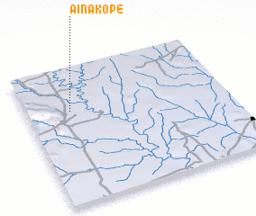 Places with similar names to Aïnakopé, Togo ::
Disclaimer :: Information on this page comes without warranty of any kind |
||
|
Where is Aïnakopé? Elevation and coordinates ::
Latitude (lat): 7°41'0"N Longitude (lon): 1°13'0"E
Elevation (approx.): 155m (map arrows pan, magnifying glasses zoom) |
||
|
Visiting Aïnakopé? Hotel/Accommodation ::
Book a hotel in Aïnakopé Travel Guide ::
Buy a travel guide for Togo rental cars ::
car rental offers GPS waypoint ::
download a GPX waypoint (PoI) of Aïnakopé for your GPS receiver
|
||