|
search place name
|
||
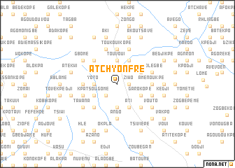
Atchyonfré (Togo)Atchyonfré is a town in Togo. An overview map of the region around Atchyonfré is displayed below.
regional and 3d topo map of Atchyonfré, Togo ::
Atchyonfré airports ::
The nearest airport is LFW - Lome Gnassingbe Eyadema Intl, located 54.0 km south east of Atchyonfré.
Other airports nearby include ACC - Accra Kotoka Intl (151.5 km south west), COO - Cotonou Cadjehoun (166.6 km east), Nearby towns ::
Aténioufoué (1.8km east) //
Ziwo (1.8km east) //
Djegba (2.6km south west) //
Yekplékodji (2.6km south west) //
Abofla Kopé (3.7km south) //
Bédo (3.7km west) //
Yoto (3.7km west) //
Oulénou (3.7km west) //
Kpékodji (3.7km north) //
Touvoui (3.7km north) //
Kpatsougomé (4.1km south west) //
Ati (4.1km south east) //
Garokopé (4.1km south east) //
Kolobo (4.1km north east) //
Akakpoé (4.1km north east) //
Hétovi (5.2km south west) //
Kpéssoumé (5.2km south east) //
Assahoun (5.2km south east) //
Bodo (5.2km north west) //
Ando (5.6km south) //
Toukouikopé (5.6km north) //
Badjanaké (5.5km west) //
Fyakodji (5.5km west) //
Aménoukpé (5.5km east) //
Lomoi (5.5km east) //
Avédjéta (5.9km north) //
Djaka Kopé (5.8km west) //
Agodomé (5.8km west) //
Hévou (5.8km east) //
[all distances 'as the bird flies' and approximate] 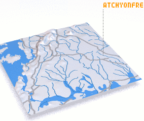 Places with similar names to Atchyonfré, Togo :: Disclaimer :: Information on this page comes without warranty of any kind |
||
|
Where is Atchyonfré? Elevation and coordinates ::
Latitude (lat): 6°29'0"N Longitude (lon): 0°53'0"W
Elevation (approx.): 121m (map arrows pan, magnifying glasses zoom) |
||
|
Visiting Atchyonfré? Hotel/Accommodation ::
Book a hotel in Atchyonfré Travel Guide ::
Buy a travel guide for Togo rental cars ::
car rental offers GPS waypoint ::
download a GPX waypoint (PoI) of Atchyonfré for your GPS receiver
|
||