|
search place name
|
||
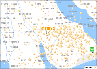
Atinyo (Préfecture de Lomé, Togo)Atinyo is a town in the Préfecture de Lomé region of Togo. An overview map of the region around Atinyo is displayed below.
regional and 3d topo map of Atinyo, Togo ::
Atinyo airports ::
The nearest airport is LFW - Lome Gnassingbe Eyadema Intl, located 17.8 km east of Atinyo.
Other airports nearby include COO - Cotonou Cadjehoun (142.7 km east), ACC - Accra Kotoka Intl (156.0 km south west), Nearby towns ::
Rhotou (0.3km north east) //
Klémé (0.3km south west) //
Djava (0.5km north east) //
Agbo (0.7km west) //
Kopégan (1.0km south east) //
Avégwimé (1.4km south west) //
Agbonaglé (1.4km south east) //
Vougomé (1.4km north) //
Dekpo (1.4km east) //
Sanguéra (1.6km north east) //
Apégame (1.6km north east) //
Rhimé (1.6km south east) //
Afangbédji (1.7km east) //
Afangbédji (1.8km west) //
Dougan (1.9km north west) //
Gakpodji (1.9km north) //
Alakopé (1.9km east) //
Ablogbé (2.0km west) //
Apédo (2.0km south) //
Kpodji (2.1km south) //
Djikousére (2.2km west) //
Adokpo (2.2km west) //
Amousou (2.2km east) //
Gbéto (2.4km north east) //
Agbanati (2.5km north) //
Naka (2.5km north east) //
Kpoka (2.6km north east) //
Atidjon (2.7km north) //
Atigan Kopé (2.8km north east) //
[all distances 'as the bird flies' and approximate] 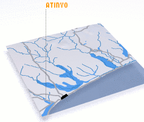 Places with similar names to Atinyo, Togo ::
Disclaimer :: Information on this page comes without warranty of any kind |
||
|
Where is Atinyo? Elevation and coordinates ::
Latitude (lat): 6°13'5"N Longitude (lon): 1°6'9"E
Elevation (approx.): 43m (map arrows pan, magnifying glasses zoom) |
||
|
Visiting Atinyo? Hotel/Accommodation ::
Book a hotel in Atinyo Travel Guide ::
Buy a travel guide for Togo rental cars ::
car rental offers GPS waypoint ::
download a GPX waypoint (PoI) of Atinyo for your GPS receiver
|
||