|
search place name
|
||
Matékpo (Togo)Matékpo is a town in Togo. An overview map of the region around Matékpo is displayed below.
regional and 3d topo map of Matékpo, Togo ::

Matékpo airports ::
The nearest airport is LRL - Niatougou Niamtougou International, located 188.2 km north of Matékpo.
Other airports nearby include LFW - Lome Gnassingbe Eyadema Intl (210.6 km south), COO - Cotonou Cadjehoun (233.1 km south east), Nearby towns ::
Foudjaï (1.8km west) //
Kofiti (1.9km south) //
Atikpaï (2.6km north west) //
Adomé (4.1km south west) //
Dogogblé (4.1km south east) //
Nalomi (5.2km south east) //
Langabou (5.9km north) //
Tatékoïdi (5.9km north) //
Baté (5.9km south) //
Babame (6.7km south east) //
Koulan (6.6km south west) //
Sié (8.3km south west) //
Tché (8.3km south west) //
Alomanié (9.2km north west) //
Matioukpli (9.2km north east) //
Amoublé (9.2km north east) //
[all distances 'as the bird flies' and approximate] 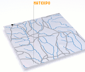 Places with similar names to Matékpo, Togo ::
Disclaimer :: Information on this page comes without warranty of any kind |
||
|
Where is Matékpo? Elevation and coordinates ::
Latitude (lat): 8°4'0"N Longitude (lon): 1°9'0"E
Elevation (approx.): 263m (map arrows pan, magnifying glasses zoom) |
||
|
Visiting Matékpo? Hotel/Accommodation ::
Book a hotel in Matékpo Travel Guide ::
Buy a travel guide for Togo rental cars ::
car rental offers GPS waypoint ::
download a GPX waypoint (PoI) of Matékpo for your GPS receiver
|
||