|
search place name
|
||
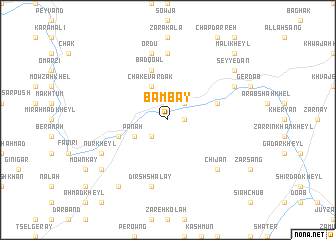
Bambay (Vardak, Afghanistan)Bambay is a town in the Vardak region of Afghanistan. An overview map of the region around Bambay is displayed below.
regional and 3d topo map of Bambay, Afghanistan ::
Bambay airports ::
The nearest airport is KBL - Kabul Intl, located 74.1 km north east of Bambay.
Other airports nearby include JAA - Jalalabad (176.2 km east), Nearby towns ::
Lālā Kheyl (1.5km east) //
Lwaṟ (2.4km north east) //
Jalīl (2.4km north east) //
Mowdū (2.4km south west) //
Chak-e Vardak (4.0km north) //
Būk Sarī (3.6km south west) //
Panah (3.6km south west) //
Sheykh Yāsīn (5.0km east) //
Bād Qowl (5.8km north) //
Dawrān Khēl (5.0km west) //
Ḩasan Khān (7.4km north) //
Ordū (7.6km north) //
Dīrsh Shalay (7.6km south) //
Chī Jān (7.2km south east) //
Langar (7.2km north east) //
Nūr Kheyl (7.2km south west) //
Kadalay (8.3km north east) //
Seyyedān (8.3km north east) //
Moqām Kheyl (8.3km south west) //
Qorbānī (8.7km south west) //
Malī Kheyl (9.6km north east) //
[all distances 'as the bird flies' and approximate] 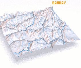 Places with similar names to Bambay, Afghanistan ::
Disclaimer :: Information on this page comes without warranty of any kind |
||
|
Where is Bambay? Elevation and coordinates ::
Latitude (lat): 34°7'0"N Longitude (lon): 68°37'0"E
Elevation (approx.): 2277m (map arrows pan, magnifying glasses zoom) |
||
|
Visiting Bambay? Hotel/Accommodation ::
Book a hotel in Bambay Travel Guide ::
Buy a travel guide for Afghanistan rental cars ::
car rental offers GPS waypoint ::
download a GPX waypoint (PoI) of Bambay for your GPS receiver
|
||