|
search place name
|
||
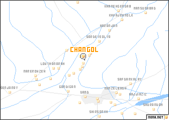
Changol (Kandahār, Afghanistan)Changol is a town in the Kandahār region of Afghanistan. An overview map of the region around Changol is displayed below.
regional and 3d topo map of Changol, Afghanistan ::
Changol airports ::
The nearest airport is KDH - Kandahar, located 25.4 km south east of Changol.
Other airports nearby include UET - Quetta (199.2 km south east), Nearby towns ::
Mīr Āb Khvorān (0.8km south) //
Sīkh Chālā-ye Soflá (1.3km north west) //
Sīkh Chālā-ye ‘Olyā (1.4km north east) //
Deh Kheshkī (1.5km south) //
Mazra‘eh-ye ‘Abbās (1.9km north east) //
Mazra‘eh (2.2km south west) //
Bābā Valī Şāḩeb (3.5km south west) //
Jelāwur (4.1km north west) //
Arghandāb (4.4km south west) //
Sardē-ye ‘Olyā (5.0km north east) //
Kochnay Manārah (5.2km west) //
Lowy Manārah (6.2km west) //
Gondīgān (7.6km south west) //
Dand (8.1km south) //
Kūhak (7.6km south west) //
Maranjān (8.1km north east) //
Kandahār (8.8km south) //
Manzel Bāgh (9.4km south east) //
Kūchnay Bālā Karz (10.0km south east) //
[all distances 'as the bird flies' and approximate] 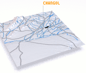 Places with similar names to Changol, Afghanistan ::
Disclaimer :: Information on this page comes without warranty of any kind |
||
|
Where is Changol? Elevation and coordinates ::
Latitude (lat): 31°41'4"N Longitude (lon): 65°40'49"E
Elevation (approx.): 1032m (map arrows pan, magnifying glasses zoom) |
||
|
Visiting Changol? Hotel/Accommodation ::
Book a hotel in Changol Travel Guide ::
Buy a travel guide for Afghanistan rental cars ::
car rental offers GPS waypoint ::
download a GPX waypoint (PoI) of Changol for your GPS receiver
|
||