|
search place name
|
||
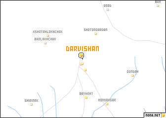
Darvīshān (Kandahār, Afghanistan)Darvīshān is a town in the Kandahār region of Afghanistan. An overview map of the region around Darvīshān is displayed below.
regional and 3d topo map of Darvīshān, Afghanistan ::
Darvīshān airports ::
The nearest airport is KDH - Kandahar, located 64.8 km south east of Darvīshān.
Other airports nearby include UET - Quetta (238.5 km south east), Nearby towns ::
Khākrīz (1.1km south) //
Zīārat-e Shāh Maqşūd (1.2km south) //
Chenār (2.5km south) //
Shotor Gardan (6.2km north east) //
Bayhemt (8.8km south) //
Bar Lakhchak (8.1km north west) //
Ks̲h̲atah Lakhchak (8.6km north west) //
[all distances 'as the bird flies' and approximate] 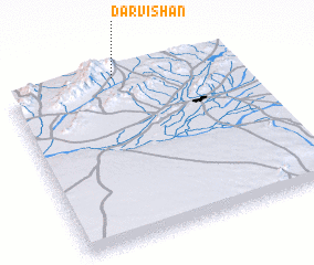 Places with similar names to Darvīshān, Afghanistan ::
// Dörfchen (DE)
// Derviçian (AL)
// Dar Afshān (IR)
// Dār Afshān (IR)
// Darvīshān (IR)
// Darvīshān (IR)
// Darvīshān (IR)
// Darvīshān (IR)
// Darvīshān (IR)
// Darvīshān (IR)
Disclaimer :: Information on this page comes without warranty of any kind |
||
|
Where is Darvīshān? Elevation and coordinates ::
Latitude (lat): 31°59'44"N Longitude (lon): 65°28'28"E
Elevation (approx.): 1591m (map arrows pan, magnifying glasses zoom) |
||
|
Visiting Darvīshān? Hotel/Accommodation ::
Book a hotel in Darvīshān Travel Guide ::
Buy a travel guide for Afghanistan rental cars ::
car rental offers GPS waypoint ::
download a GPX waypoint (PoI) of Darvīshān for your GPS receiver
|
||