|
search place name
|
||
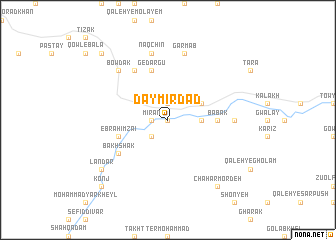
Dāymīrdād (Vardak, Afghanistan)Dāymīrdād is a town in the Vardak region of Afghanistan. An overview map of the region around Dāymīrdād is displayed below.
regional and 3d topo map of Dāymīrdād, Afghanistan ::
Dāymīrdād airports ::
The nearest airport is KBL - Kabul Intl, located 91.0 km north east of Dāymīrdād.
Nearby towns ::
Teymūr Kheyl (0.0km north) //
Dowlah Shah (1.9km north) //
Mīrān (1.5km west) //
Aḩmad Kheyl (2.4km south west) //
Dālān (3.1km east) //
Changah (3.6km north east) //
Bābak (4.6km east) //
Ebrāhīm Zā'ī (5.0km west) //
Gēdargū (5.8km north) //
Bakhshak (5.9km south west) //
Sīāh Khavāl (6.3km north west) //
Dowrānay (6.1km east) //
Garm Āb (7.6km north) //
Naqchīn (7.6km north) //
Bowdak (7.2km north west) //
Bador (8.3km south west) //
Landar (8.3km south west) //
Chahār Mordeh (8.7km south east) //
Kowt-e ‘Ashū (9.6km north west) //
Konj (9.6km south west) //
[all distances 'as the bird flies' and approximate] 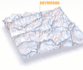 Places with similar names to Dāymīrdād, Afghanistan ::
Disclaimer :: Information on this page comes without warranty of any kind |
||
|
Where is Dāymīrdād? Elevation and coordinates ::
Latitude (lat): 34°13'0"N Longitude (lon): 68°19'0"E
Elevation (approx.): 2527m (map arrows pan, magnifying glasses zoom) |
||
|
Visiting Dāymīrdād? Hotel/Accommodation ::
Book a hotel in Dāymīrdād Travel Guide ::
Buy a travel guide for Afghanistan rental cars ::
car rental offers GPS waypoint ::
download a GPX waypoint (PoI) of Dāymīrdād for your GPS receiver
|
||