|
search place name
|
||
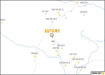
Gūtkay (Khowst, Afghanistan)Gūtkay is a town in the Khowst region of Afghanistan. An overview map of the region around Gūtkay is displayed below.
regional and 3d topo map of Gūtkay, Afghanistan ::
Gūtkay airports ::
The nearest airport is JAA - Jalalabad, located 106.1 km north east of Gūtkay.
Other airports nearby include KBL - Kabul Intl (139.1 km north west), PEW - Peshawar Intl (145.8 km east), Nearby towns ::
Bāk (2.3km south) //
Kurru (4.8km south) //
Trakay (4.6km south east) //
Kūchekān (5.7km north) //
Jūno Ghar (6.4km south) //
Jabēh (8.2km north) //
Saºah Payalah (8.0km north east) //
Tūtak (8.6km north) //
Ya‘qūbī (8.4km south west) //
Sºēh Kalay (8.8km north east) //
Motūni (9.3km south east) //
[all distances 'as the bird flies' and approximate] 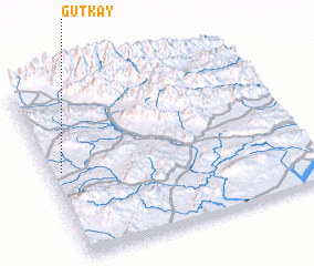 Places with similar names to Gūtkay, Afghanistan ::
Disclaimer :: Information on this page comes without warranty of any kind |
||
|
Where is Gūtkay? Elevation and coordinates ::
Latitude (lat): 33°31'15"N Longitude (lon): 70°2'45"E
Elevation (approx.): 1186m (map arrows pan, magnifying glasses zoom) |
||
|
Visiting Gūtkay? Hotel/Accommodation ::
Book a hotel in Gūtkay Travel Guide ::
Buy a travel guide for Afghanistan rental cars ::
car rental offers GPS waypoint ::
download a GPX waypoint (PoI) of Gūtkay for your GPS receiver
|
||