|
search place name
|
||
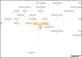
Mollā Now (Bāmīān, Afghanistan)Mollā Now is a town in the Bāmīān region of Afghanistan. An overview map of the region around Mollā Now is displayed below.
regional and 3d topo map of Mollā Now, Afghanistan ::
Mollā Now airports ::
The nearest airport is KBL - Kabul Intl, located 127.3 km east of Mollā Now.
Other airports nearby include UND - Kunduz Konduz (238.9 km north east), Nearby towns ::
Jowzārī (1.5km west) //
Chap Qowlak (2.4km north west) //
Garm Bolāgh (3.0km east) //
Dokānī (4.0km north) //
Sowmāreh ‘Alī Aḩmad (3.6km north east) //
Rashak (4.8km north west) //
Dūghābād (4.8km north west) //
Sar Qowl (4.9km west) //
Dashtak (6.3km north west) //
Khavāl (7.4km north) //
Sar-e Āhangarān (6.4km east) //
Deh Hezāreh (7.2km north west) //
Kaṯway (8.2km north west) //
Sūmārah-ye Mollā Ḩoseyn (8.7km north east) //
Sīāh Khār Ţowqī (8.2km north east) //
Do Ābī (9.6km north west) //
[all distances 'as the bird flies' and approximate] 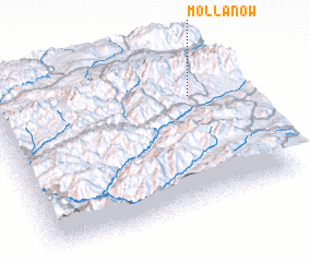 Places with similar names to Mollā Now, Afghanistan ::
Disclaimer :: Information on this page comes without warranty of any kind |
||
|
Where is Mollā Now? Elevation and coordinates ::
Latitude (lat): 34°42'0"N Longitude (lon): 67°50'0"E
Elevation (approx.): 3083m (map arrows pan, magnifying glasses zoom) |
||
|
Visiting Mollā Now? Hotel/Accommodation ::
Book a hotel in Mollā Now Travel Guide ::
Buy a travel guide for Afghanistan rental cars ::
car rental offers GPS waypoint ::
download a GPX waypoint (PoI) of Mollā Now for your GPS receiver
|
||