|
search place name
|
||
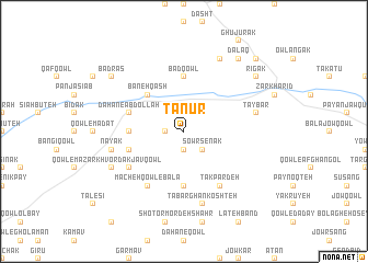
Tanūr (Vardak, Afghanistan)Tanūr is a town in the Vardak region of Afghanistan. An overview map of the region around Tanūr is displayed below.
regional and 3d topo map of Tanūr, Afghanistan ::
Tanūr airports ::
The nearest airport is KBL - Kabul Intl, located 98.2 km east of Tanūr.
Nearby towns ::
Towbeh Gāh (1.9km north) //
Dahan-e Tanūr (1.9km north) //
Qowlneh Qadam (1.9km south) //
Shīrdād Abdareh va Farā Kholm (1.5km west) //
Sowr Senak (2.4km south east) //
Baneh Qāsh (4.8km north west) //
Petāv-e Mīzān (5.6km south) //
Bād Qowl (5.6km north) //
Kūtah-e Shīv (4.6km west) //
Dahan-e ‘Abdollāh (4.9km west) //
Owbeh Gak (4.9km west) //
Tak Pardeh (6.3km south east) //
Macheh Qowl-e Bālā (6.3km south west) //
Khvordak Javqowl (5.9km south west) //
Tay Bār (6.4km east) //
Tabarghān Koshteh (7.6km south) //
Nayak (6.4km west) //
Qowl-e Qowbī (8.0km north) //
Owtow Pūr (7.1km south west) //
Dalaq (8.7km north east) //
Badras (8.3km north west) //
Rīgak (8.3km north east) //
Almasīd (9.6km north east) //
[all distances 'as the bird flies' and approximate] 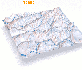 Places with similar names to Tanūr, Afghanistan ::
Disclaimer :: Information on this page comes without warranty of any kind |
||
|
Where is Tanūr? Elevation and coordinates ::
Latitude (lat): 34°28'0"N Longitude (lon): 68°9'0"E
Elevation (approx.): 3178m (map arrows pan, magnifying glasses zoom) |
||
|
Visiting Tanūr? Hotel/Accommodation ::
Book a hotel in Tanūr Travel Guide ::
Buy a travel guide for Afghanistan rental cars ::
car rental offers GPS waypoint ::
download a GPX waypoint (PoI) of Tanūr for your GPS receiver
|
||