|
search place name
|
||
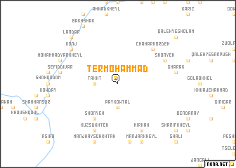
Ter Moḩammad (Vardak, Afghanistan)Ter Moḩammad is a town in the Vardak region of Afghanistan. An overview map of the region around Ter Moḩammad is displayed below.
regional and 3d topo map of Ter Moḩammad, Afghanistan ::
Ter Moḩammad airports ::
The nearest airport is KBL - Kabul Intl, located 97.3 km north east of Ter Moḩammad.
Nearby towns ::
Pāy Kowtal (3.7km south) //
Takht (3.1km west) //
Shonyeh (6.4km south west) //
Chahār Mordeh (7.2km north east) //
Shonyeh (7.2km north east) //
Mīrkah (8.0km south east) //
Kūz Sūkhteh (8.0km south west) //
Konj (8.3km north west) //
Landar (9.6km north west) //
Bador (9.6km north west) //
[all distances 'as the bird flies' and approximate] 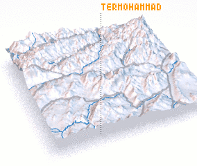 Places with similar names to Ter Moḩammad, Afghanistan ::
// Douar Mohammed (TN)
// Douar Mohammed (TN)
// Dūr Moḩammad (IR)
// Dūr Moḩammad (IR)
// Daru Muhammade (PK)
// Dūr Muhammad (PK)
// Dur Muhammad (PK)
// Dur Muhammad (PK)
// Dur Muhammad (PK)
// Dur Muhammad (PK)
Disclaimer :: Information on this page comes without warranty of any kind |
||
|
Where is Ter Moḩammad? Elevation and coordinates ::
Latitude (lat): 34°6'0"N Longitude (lon): 68°19'0"E
Elevation (approx.): 3256m (map arrows pan, magnifying glasses zoom) |
||
|
Visiting Ter Moḩammad? Hotel/Accommodation ::
Book a hotel in Ter Moḩammad Travel Guide ::
Buy a travel guide for Afghanistan rental cars ::
car rental offers GPS waypoint ::
download a GPX waypoint (PoI) of Ter Moḩammad for your GPS receiver
|
||