|
search place name
|
||
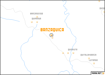
Banza Quica (Uíge, Angola)Banza Quica is a town in the Uíge region of Angola. An overview map of the region around Banza Quica is displayed below.
regional and 3d topo map of Banza Quica, Angola ::
Banza Quica airports ::
The nearest airport is GXG - Negage, located 79.9 km south west of Banza Quica.
Other airports nearby include UGO - Uige (88.0 km south west), SSY - M'banza-congo Mbanza Congo (186.3 km north west), Nearby towns ::
Bunga Pemba (0.0km north) //
Cuilo Pombo (6.7km south east) //
Quipanda (7.8km north west) //
Quimbunga (7.8km north west) //
Quimolo (7.8km south east) //
Pota (9.2km north west) //
Banza Sosso (9.2km north west) //
Quinvuta (9.2km south east) //
[all distances 'as the bird flies' and approximate] 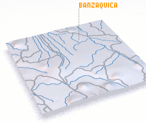 Places with similar names to Banza Quica, Angola ::
// Ban Sua Kok (TH)
// Ban Sua Kok (TH)
// Bonsua Kawkaw (GH)
// Ban Sakôk (LA)
// Ban Suk Gâu (VN)
// Bản Suối Co Cou (VN)
// Bản Suối Cuoc (VN)
// Banza Quica (AO)
Disclaimer :: Information on this page comes without warranty of any kind |
||
|
Where is Banza Quica? Elevation and coordinates ::
Latitude (lat): 7°9'0"S Longitude (lon): 15°41'0"E
Elevation (approx.): 981m (map arrows pan, magnifying glasses zoom) |
||
|
Visiting Banza Quica? Hotel/Accommodation ::
Book a hotel in Banza Quica Travel Guide ::
Buy a travel guide for Angola rental cars ::
car rental offers GPS waypoint ::
download a GPX waypoint (PoI) of Banza Quica for your GPS receiver
|
||