|
search place name
|
||
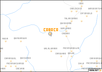
Cabaça (Cuanza Norte, Angola)Cabaça is a town in the Cuanza Norte region of Angola. An overview map of the region around Cabaça is displayed below.
regional and 3d topo map of Cabaça, Angola ::
Cabaça airports ::
The nearest airport is MEG - Malanje, located 131.4 km east of Cabaça.
Other airports nearby include GXG - Negage (152.9 km north), UGO - Uige (170.1 km north), LAD - Luanda 4 De Fevereiro (216.8 km west), PBN - Porto Amboim (234.6 km south west), Nearby towns ::
Dala-Luamba (5.6km south) //
Caumbe (5.5km east) //
Dualumbe (5.8km east) //
Quissembe (6.6km north east) //
Cangumbe (8.3km south east) //
Fazenda Quijia (9.2km south east) //
Quiangombe (9.2km north east) //
Talanzambe (9.2km north east) //
Quijia (10.4km south east) //
[all distances 'as the bird flies' and approximate] 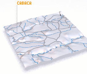 Places with similar names to Cabaça, Angola ::
Disclaimer :: Information on this page comes without warranty of any kind |
||
|
Where is Cabaça? Elevation and coordinates ::
Latitude (lat): 9°8'0"S Longitude (lon): 15°11'0"E
Elevation (approx.): 908m (map arrows pan, magnifying glasses zoom) |
||
|
Visiting Cabaça? Hotel/Accommodation ::
Book a hotel in Cabaça Travel Guide ::
Buy a travel guide for Angola rental cars ::
car rental offers GPS waypoint ::
download a GPX waypoint (PoI) of Cabaça for your GPS receiver
|
||