|
search place name
|
||
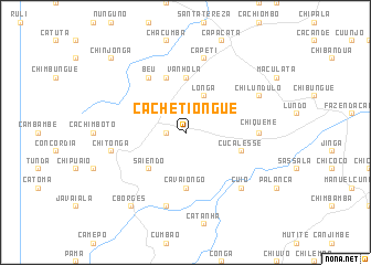
Cachetiongue (Huambo, Angola)Cachetiongue is a town in the Huambo region of Angola. An overview map of the region around Cachetiongue is displayed below.
regional and 3d topo map of Cachetiongue, Angola ::
Cachetiongue airports ::
The nearest airport is NOV - Huambo, located 95.9 km south east of Cachetiongue.
Other airports nearby include BUG - Benguela (195.6 km west), SVP - Kuito (197.1 km east), PBN - Porto Amboim (221.3 km north west), Nearby towns ::
Cumbira (1.8km west) //
Longa (4.1km north east) //
Saiendo (5.2km south west) //
Vanhola (5.6km north) //
Cavaiongo (5.6km south) //
Cucalesse (5.7km east) //
Honde (5.8km north) //
Beú (6.6km north west) //
Chiqueme (7.2km east) //
Capeti (7.6km north) //
Chitonga (7.5km west) //
Arnaldo Barbedo (7.6km south) //
Cuio (7.8km south east) //
Chilundulo (8.1km north east) //
C. Borges (9.2km south west) //
Cacupa (9.2km south west) //
Chinjonga (10.4km north west) //
[all distances 'as the bird flies' and approximate] 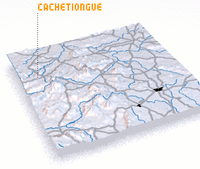 Places with similar names to Cachetiongue, Angola ::
// Gashchenka (RU)
// Gashchenka (RU)
// Gushchenka (RU)
// Gushchinka (RU)
// Kashchenki (RU)
// Caishichang (CN)
// Gushicheng (CN)
Disclaimer :: Information on this page comes without warranty of any kind |
||
|
Where is Cachetiongue? Elevation and coordinates ::
Latitude (lat): 12°11'0"S Longitude (lon): 15°9'0"E
Elevation (approx.): 1621m (map arrows pan, magnifying glasses zoom) |
||
|
Visiting Cachetiongue? Hotel/Accommodation ::
Book a hotel in Cachetiongue Travel Guide ::
Buy a travel guide for Angola rental cars ::
car rental offers GPS waypoint ::
download a GPX waypoint (PoI) of Cachetiongue for your GPS receiver
|
||