|
search place name
|
||
Camacupa (Bié, Angola)Camacupa is a town in the Bié region of Angola. An overview map of the region around Camacupa is displayed below.
regional and 3d topo map of Camacupa, Angola ::

Camacupa airports ::
The nearest airport is SVP - Kuito, located 72.4 km south west of Camacupa.
Other airports nearby include NOV - Huambo (206.8 km south west), Nearby towns ::
Rissosse (9.1km south east) //
[all distances 'as the bird flies' and approximate] 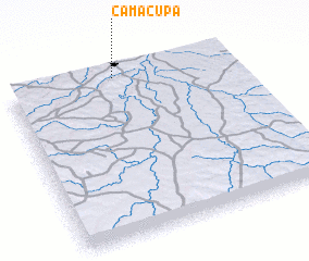 Places with similar names to Camacupa, Angola ::
// Kumkapı (TR)
// Ga-Mogopa (ZA)
// Kumikope (GH)
// Komoukopé (TG)
// Kombakopé (TG)
// Komikopé (TG)
// Kami-aikappu (JP)
// Kami-okoppe (JP)
Disclaimer :: Information on this page comes without warranty of any kind |
||
|
Where is Camacupa? Elevation and coordinates ::
Latitude (lat): 12°1'0"S Longitude (lon): 17°29'0"E
Elevation (approx.): 1472m (map arrows pan, magnifying glasses zoom) |
||
|
Visiting Camacupa? Hotel/Accommodation ::
Book a hotel in Camacupa Travel Guide ::
Buy a travel guide for Angola rental cars ::
car rental offers GPS waypoint ::
download a GPX waypoint (PoI) of Camacupa for your GPS receiver
|
||