|
search place name
|
||
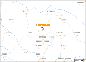
Laranja (Cuanza Sul, Angola)Laranja is a town in the Cuanza Sul region of Angola. An overview map of the region around Laranja is displayed below.
regional and 3d topo map of Laranja, Angola ::
Laranja airports ::
The nearest airport is PBN - Porto Amboim, located 67.8 km north west of Laranja.
Other airports nearby include BUG - Benguela (193.2 km south west), NOV - Huambo (250.8 km south east), Nearby towns ::
Lumbe (1.9km north) //
Chiale (1.8km west) //
Chita (1.9km south) //
Dequesse (2.6km north east) //
Minga (2.6km south east) //
Roça Maria de Lourdes (2.6km south west) //
Canamba (3.7km south) //
Gunje (5.2km south east) //
Roça Alto Minho (5.6km south) //
Bimbe (5.8km west) //
Cumbira Primeiro do Engelo (6.6km south east) //
Chari (7.6km north) //
Conda (7.5km east) //
Sambata (7.5km east) //
Chicunda (7.6km south) //
Cutomba (7.6km south) //
Roça Alda (8.3km north east) //
Huande (9.2km north east) //
Cauembe (10.4km north west) //
[all distances 'as the bird flies' and approximate] 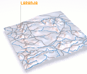 Places with similar names to Laranja, Angola ::
Disclaimer :: Information on this page comes without warranty of any kind |
||
|
Where is Laranja? Elevation and coordinates ::
Latitude (lat): 11°5'0"S Longitude (lon): 14°16'0"E
Elevation (approx.): 838m (map arrows pan, magnifying glasses zoom) |
||
|
Visiting Laranja? Hotel/Accommodation ::
Book a hotel in Laranja Travel Guide ::
Buy a travel guide for Angola rental cars ::
car rental offers GPS waypoint ::
download a GPX waypoint (PoI) of Laranja for your GPS receiver
|
||