|
search place name
|
||
Quinguelegi (Malanje, Angola)Quinguelegi is a town in the Malanje region of Angola. An overview map of the region around Quinguelegi is displayed below.
regional and 3d topo map of Quinguelegi, Angola ::

Quinguelegi airports ::
The nearest airport is MEG - Malanje, located 30.1 km south of Quinguelegi.
Other airports nearby include GXG - Negage (200.9 km north west), UGO - Uige (231.3 km north west), Nearby towns ::
Quimonha (3.0km south east) //
Quiriri (3.5km west) //
Mussendeleque (4.5km south) //
Quichunga (4.8km west) //
Cambumbe (5.1km south west) //
NʼGola Luige (5.3km north east) //
Macala (5.4km south) //
Ngola Luigi (5.4km east) //
Colonado do Ngangassole (5.5km south) //
Ngangassole I (5.5km south east) //
Camicula (6.0km east) //
Nzambi iá Pungo (7.6km south) //
Camalonga (8.6km south east) //
Jimbo (8.9km south) //
Força (9.0km south east) //
Ngangassole II (9.7km south west) //
Gangassol (10.6km south west) //
Quinguri (11.9km south east) //
[all distances 'as the bird flies' and approximate] 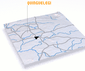 Places with similar names to Quinguelegi, Angola ::
Disclaimer :: Information on this page comes without warranty of any kind |
||
|
Where is Quinguelegi? Elevation and coordinates ::
Latitude (lat): 9°15'12"S Longitude (lon): 16°19'7"E
Elevation (approx.): 1119m (map arrows pan, magnifying glasses zoom) |
||
|
Visiting Quinguelegi? Hotel/Accommodation ::
Book a hotel in Quinguelegi Travel Guide ::
Buy a travel guide for Angola rental cars ::
car rental offers GPS waypoint ::
download a GPX waypoint (PoI) of Quinguelegi for your GPS receiver
|
||