|
search place name
|
||
Roça Quiemba (Cuanza Norte, Angola)Roça Quiemba is a town in the Cuanza Norte region of Angola. An overview map of the region around Roça Quiemba is displayed below.
regional and 3d topo map of Roça Quiemba, Angola ::

Roça Quiemba airports ::
The nearest airport is UGO - Uige, located 132.1 km north east of Roça Quiemba.
Other airports nearby include GXG - Negage (133.3 km north east), LAD - Luanda 4 De Fevereiro (142.8 km west), MEG - Malanje (218.2 km south east), Nearby towns ::
Quita (1.8km east) //
Roça São Miguel (4.1km north west) //
Roça Vale do Úcua (5.2km north west) //
Quimbundo (5.2km south west) //
Dungo (5.8km west) //
Fazenda Adelaide (5.8km west) //
Pango Aluquem (6.6km south west) //
Dungue (6.6km south west) //
Quindange (10.4km north east) //
[all distances 'as the bird flies' and approximate] 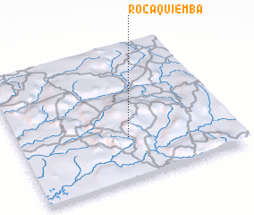 Places with similar names to Roça Quiemba, Angola ::
Disclaimer :: Information on this page comes without warranty of any kind |
||
|
Where is Roça Quiemba? Elevation and coordinates ::
Latitude (lat): 8°41'0"S Longitude (lon): 14°31'0"E
Elevation (approx.): 825m (map arrows pan, magnifying glasses zoom) |
||
|
Visiting Roça Quiemba? Hotel/Accommodation ::
Book a hotel in Roça Quiemba Travel Guide ::
Buy a travel guide for Angola rental cars ::
car rental offers GPS waypoint ::
download a GPX waypoint (PoI) of Roça Quiemba for your GPS receiver
|
||