|
search place name
|
||
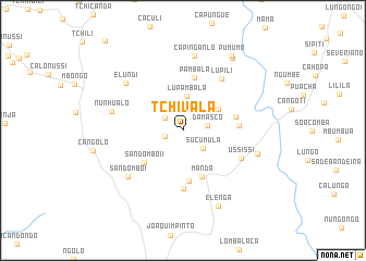
Tchivala (Huambo, Angola)Tchivala is a town in the Huambo region of Angola. An overview map of the region around Tchivala is displayed below.
regional and 3d topo map of Tchivala, Angola ::
Tchivala airports ::
The nearest airport is NOV - Huambo, located 42.6 km north east of Tchivala.
Other airports nearby include SVP - Kuito (177.6 km north east), SDD - Lubango (290.6 km south west), Nearby towns ::
Cassupi II (1.9km west) //
Cassupi I (2.2km north west) //
Damasco (2.5km east) //
Sucumula (2.7km south east) //
Lupambala (3.5km north) //
Cassupi (3.6km north east) //
Chiuo (4.2km north east) //
Manda (5.1km south) //
Sandombo II (5.1km south west) //
Cassisse (5.2km south) //
Pambala (5.5km north) //
Sassoma (5.5km east) //
Lupili (5.6km east) //
Fendi (5.9km south) //
Ussissi (6.5km south east) //
Lupili (6.6km north east) //
Sandombo I (7.2km south west) //
Elundi (7.5km north west) //
Nunhualo (7.4km west) //
Capinganlo (7.8km north) //
Mandele (7.9km east) //
Elenga (8.5km south east) //
Cambêmbua (8.9km north east) //
Pumumo (9.1km north east) //
[all distances 'as the bird flies' and approximate] 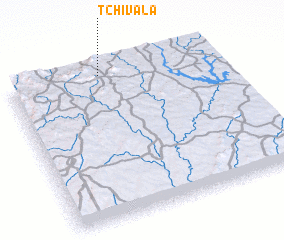 Places with similar names to Tchivala, Angola ::
// Dāsh Āghol (IR)
// Dāsh Āghol (IR)
// Dashville (US)
// Tchofel (TD)
// Tshifulu (CD)
// Tchivoula (CG)
// Tīchīfīl (IR)
// Tchivala (MZ)
// Ticheville (FR)
// Dash Valley (BB)
Disclaimer :: Information on this page comes without warranty of any kind |
||
|
Where is Tchivala? Elevation and coordinates ::
Latitude (lat): 13°2'12"S Longitude (lon): 15°26'40"E
Elevation (approx.): 1736m (map arrows pan, magnifying glasses zoom) |
||
|
Visiting Tchivala? Hotel/Accommodation ::
Book a hotel in Tchivala Travel Guide ::
Buy a travel guide for Angola rental cars ::
car rental offers GPS waypoint ::
download a GPX waypoint (PoI) of Tchivala for your GPS receiver
|
||