|
search place name
|
||
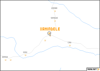
Xamindele (Uíge, Angola)Xamindele is a town in the Uíge region of Angola. An overview map of the region around Xamindele is displayed below.
regional and 3d topo map of Xamindele, Angola ::
Xamindele airports ::
The nearest airport is SSY - M'banza-congo Mbanza Congo, located 97.4 km north of Xamindele.
Other airports nearby include UGO - Uige (97.8 km south east), GXG - Negage (131.0 km south east), LAD - Luanda 4 De Fevereiro (220.7 km south west), SZA - Soyo (237.4 km north west), Nearby towns ::
Toto (0.0km north) //
Fazenda Cid Adão (2.6km south west) //
Sangue (5.9km north) //
Cau (8.2km south east) //
[all distances 'as the bird flies' and approximate] 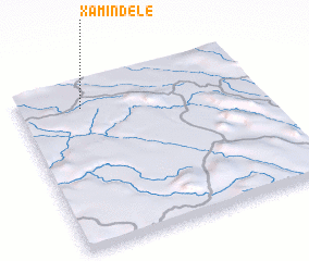 Places with similar names to Xamindele, Angola ::
// Zimnodół (PL)
// Sumandal (IN)
// Semuntul (ID)
// Samendelo (ZM)
// Samandūleh (IR)
// Sambantalu (GM)
// Zemo Entʼeli (GE)
// Cimandala (ID)
// Simandal (PH)
// Sumandal (PH)
Disclaimer :: Information on this page comes without warranty of any kind |
||
|
Where is Xamindele? Elevation and coordinates ::
Latitude (lat): 7°9'0"S Longitude (lon): 14°16'0"E
Elevation (approx.): 545m (map arrows pan, magnifying glasses zoom) |
||
|
Visiting Xamindele? Hotel/Accommodation ::
Book a hotel in Xamindele Travel Guide ::
Buy a travel guide for Angola rental cars ::
car rental offers GPS waypoint ::
download a GPX waypoint (PoI) of Xamindele for your GPS receiver
|
||