|
search place name
|
||
Aygedzor (Goris, Armenia)Aygedzor is a town in the Goris region of Armenia. An overview map of the region around Aygedzor is displayed below.
regional and 3d topo map of Aygedzor, Armenia ::

Aygedzor airports ::
The nearest airport is TBZ - Tabriz Intl, located 148.4 km south of Aygedzor.
Nearby towns ::
Hartʼashen (2.6km north) //
Davudlu (2.7km south east) //
Eyvazlı (3.6km south west) //
Khndzoresk (5.7km north) //
Mazra (6.1km south) //
Vorotan (5.7km south west) //
Kʼarahunj (5.2km west) //
Əliquluuşağı (5.2km east) //
Novlu (6.3km south east) //
Gürcülü (5.9km south east) //
Kʼarashen (8.6km north) //
Seytas (8.8km south) //
Khot (7.3km west) //
Cılfır (8.1km south east) //
Goris (8.3km north west) //
Göyǝr Abbas (9.6km south east) //
Göyǝrcık (9.3km south east) //
Mamedli (9.7km south east) //
[all distances 'as the bird flies' and approximate] 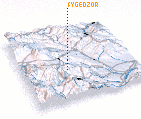
Disclaimer :: Information on this page comes without warranty of any kind |
||
|
Where is Aygedzor? Elevation and coordinates ::
Latitude (lat): 39°27'46"N Longitude (lon): 46°24'55"E
Elevation (approx.): 1152m (map arrows pan, magnifying glasses zoom) |
||
|
Visiting Aygedzor? Hotel/Accommodation ::
Book a hotel in Aygedzor Travel Guide ::
Buy a travel guide for Armenia rental cars ::
car rental offers GPS waypoint ::
download a GPX waypoint (PoI) of Aygedzor for your GPS receiver
|
||