|
search place name
|
||
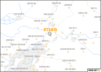
Ptghni (Abovyan, Armenia)Ptghni is a town in the Abovyan region of Armenia. An overview map of the region around Ptghni is displayed below.
regional and 3d topo map of Ptghni, Armenia ::
Ptghni airports ::
The nearest airport is VAN - Van, located 226.0 km south west of Ptghni.
Nearby towns ::
Getamej (2.0km north) //
Balahovit (1.6km east) //
Kerin Ptghni (2.0km north east) //
Arrinj (3.0km south west) //
Avan-Arrinj (4.0km south) //
Arzni (4.5km north) //
Abovyan (3.6km north east) //
Avan (4.7km south) //
Nor Hachyn (5.0km north) //
Kʼanakʼerravan (4.2km west) //
Mrgashen (4.8km north west) //
Nor Artanet (5.4km north west) //
Mayakovski (4.6km east) //
Byureghavan (6.5km north) //
Kʼanakʼerr (5.7km south west) //
Nor Norkʼ (6.7km south) //
Nor Geghi (7.2km north) //
Nor Zeytʼun (6.9km south west) //
Jrvezh (7.9km south) //
Nor Gyugh (6.2km east) //
Dzoraghbyur (7.6km south east) //
Kotaykʼ (6.7km east) //
Aramus (6.7km east) //
Norkʼ (9.3km south west) //
Yerevan (10.4km south west) //
[all distances 'as the bird flies' and approximate] 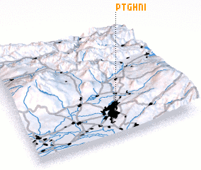 Places with similar names to Ptghni, Armenia ::
Disclaimer :: Information on this page comes without warranty of any kind |
||
|
Where is Ptghni? Elevation and coordinates ::
Latitude (lat): 40°15'24"N Longitude (lon): 44°35'6"E
Elevation (approx.): 1341m (map arrows pan, magnifying glasses zoom) |
||
|
Visiting Ptghni? Hotel/Accommodation ::
Book a hotel in Ptghni Travel Guide ::
Buy a travel guide for Armenia rental cars ::
car rental offers GPS waypoint ::
download a GPX waypoint (PoI) of Ptghni for your GPS receiver
|
||