|
search place name
|
||
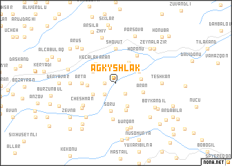
Agkyshlak (Yardımlı, Azerbaijan)Agkyshlak is a town in the Yardımlı region of Azerbaijan. An overview map of the region around Agkyshlak is displayed below.
regional and 3d topo map of Agkyshlak, Azerbaijan ::
Agkyshlak airports ::
The nearest airport is RAS - Rasht, located 205.0 km south east of Agkyshlak.
Other airports nearby include BAK - Baku Heydar Aliyev (225.0 km north east), Nearby towns ::
Varov (1.4km west) //
Zenonu (2.1km south east) //
Zangyala (2.3km south west) //
Yolocaq (3.6km north east) //
Burğu (3.2km east) //
Angevul (3.4km south west) //
Kirabin (4.0km south) //
Avchadulan (3.4km north west) //
Separadi (3.4km north east) //
Keçǝlǝkǝran (4.0km north west) //
Soru (4.6km south) //
Horavar (3.6km west) //
Aran (3.7km south east) //
Şingǝdulan (4.6km south) //
Horonu (5.1km north east) //
Arta (4.3km west) //
Shovut (5.6km north) //
Molalan (5.9km south) //
Cheshman (5.5km south west) //
Zuvüc (5.9km south west) //
Osyedǝrǝ (6.7km south west) //
Boykǝndil (6.3km south east) //
Vǝrgǝdüz (5.8km west) //
Teshkan (5.8km east) //
Murya (7.5km south) //
Durqan (7.6km south) //
Zhiy (7.5km north) //
Laman (7.0km south east) //
Mirimli (7.0km north west) //
[all distances 'as the bird flies' and approximate] 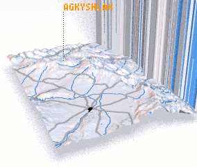 Places with similar names to Agkyshlak, Azerbaijan :: Disclaimer :: Information on this page comes without warranty of any kind |
||
|
Where is Agkyshlak? Elevation and coordinates ::
Latitude (lat): 38°54'0"N Longitude (lon): 48°23'0"E
Elevation (approx.): 461m (map arrows pan, magnifying glasses zoom) |
||
|
Visiting Agkyshlak? Hotel/Accommodation ::
Book a hotel in Agkyshlak Travel Guide ::
Buy a travel guide for Azerbaijan rental cars ::
car rental offers GPS waypoint ::
download a GPX waypoint (PoI) of Agkyshlak for your GPS receiver
|
||