|
search place name
|
||
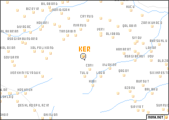
Ker (Lerik, Azerbaijan)Ker is a town in the Lerik region of Azerbaijan. An overview map of the region around Ker is displayed below.
regional and 3d topo map of Ker, Azerbaijan ::
Ker airports ::
The nearest airport is RAS - Rasht, located 174.7 km south east of Ker.
Other airports nearby include BAK - Baku Heydar Aliyev (243.2 km north east), Nearby towns ::
Coni (2.2km south east) //
Tülü (3.7km south) //
Loda (4.7km south east) //
Vijǝker (4.7km south east) //
Yuxarı Velik (5.7km south) //
Hübi (5.7km south) //
Anzolu (5.7km north) //
Razqov (5.8km north west) //
Küsǝkǝran (6.3km north east) //
Tǝngǝbin (6.3km north west) //
Rvarud (6.9km north) //
Veri (6.7km north east) //
Mistan (6.1km west) //
Əliabad (7.1km north east) //
Digov (6.7km west) //
Çayrud (8.9km north) //
Hamarat (7.0km east) //
Xozavi (8.6km north west) //
Qǝğoy (7.7km south east) //
Nisli (9.5km north west) //
Tikǝbǝnd (9.8km north east) //
Toradi (9.3km south east) //
Tǝndul (9.4km north east) //
[all distances 'as the bird flies' and approximate] 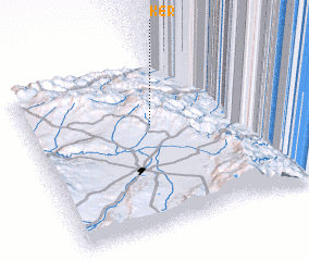 Places with similar names to Ker, Azerbaijan ::
Disclaimer :: Information on this page comes without warranty of any kind |
||
|
Where is Ker? Elevation and coordinates ::
Latitude (lat): 38°38'0"N Longitude (lon): 48°30'0"E
Elevation (approx.): 1299m (map arrows pan, magnifying glasses zoom) |
||
|
Visiting Ker? Hotel/Accommodation ::
Book a hotel in Ker Travel Guide ::
Buy a travel guide for Azerbaijan rental cars ::
car rental offers GPS waypoint ::
download a GPX waypoint (PoI) of Ker for your GPS receiver
|
||