|
search place name
|
||
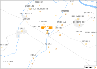
Misginli (Şǝmkir, Azerbaijan)Misginli is a town in the Şǝmkir region of Azerbaijan. An overview map of the region around Misginli is displayed below.
regional and 3d topo map of Misginli, Azerbaijan ::
Misginli airports ::
The nearest airport is MCX - Makhachkala Uytash, located 256.3 km north east of Misginli.
Nearby towns ::
Muxtariyyǝt (0.7km north west) //
Üçüncü Beynǝlmilǝl (2.7km north west) //
Tǝzǝkǝnd (3.2km north east) //
Leninabad (3.3km east) //
Çaparlı (4.2km north) //
Çinarlı (4.8km south) //
Abbaslı (6.0km south) //
Mahmudlu (5.4km north east) //
Aşağı Seyfǝli (6.8km south) //
Plankǝnd (7.7km north) //
Dǝlilǝr Cırdaxan (9.2km north) //
Dǝlilǝr (8.0km north west) //
Yeniabad (9.4km north east) //
Dǝlilǝr Cǝyir (9.5km north west) //
[all distances 'as the bird flies' and approximate] 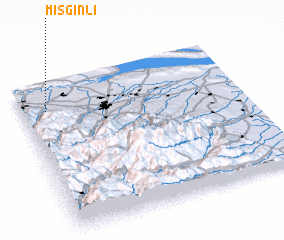 Places with similar names to Misginli, Azerbaijan :: Disclaimer :: Information on this page comes without warranty of any kind |
||
|
Where is Misginli? Elevation and coordinates ::
Latitude (lat): 40°49'4"N Longitude (lon): 46°6'38"E
Elevation (approx.): 343m (map arrows pan, magnifying glasses zoom) |
||
|
Visiting Misginli? Hotel/Accommodation ::
Book a hotel in Misginli Travel Guide ::
Buy a travel guide for Azerbaijan rental cars ::
car rental offers GPS waypoint ::
download a GPX waypoint (PoI) of Misginli for your GPS receiver
|
||