|
search place name
|
||
Cajpana (Potosí, Bolivia)Cajpana is a town in the Potosí region of Bolivia. An overview map of the region around Cajpana is displayed below.
regional and 3d topo map of Cajpana, Bolivia ::

Cajpana airports ::
The nearest airport is TJA - Tarija Capitan Oriel Lea Plaza, located 137.2 km south east of Cajpana.
Other airports nearby include POI - Potosi Capitan Nicolas Rojas (152.5 km north), SRE - Sucre Juana Azurduy De Padilla (218.9 km north), BJO - Bermejo (258.8 km south east), Nearby towns ::
Falso Corral (2.5km south east) //
Sailoma (2.5km south west) //
Tajmari (3.9km north west) //
Waykho (5.1km south west) //
Patujali (5.1km north east) //
Ojo de Agua (5.2km west) //
Jihuahuasi (5.5km west) //
Chilcoyos (5.8km south) //
Mollepunco (5.5km east) //
Cerros del Ojo del Agua (6.5km south east) //
Mulacharca (6.6km north east) //
Tacmari (6.5km south west) //
Pacacara (6.4km north east) //
Cerros del Tapi (7.6km south) //
Tatula (7.2km east) //
Chanquesa (7.2km west) //
Churqui (8.2km south east) //
Quichuca (8.2km south east) //
Uchullaca (8.2km south west) //
Peña Blanca (8.2km south west) //
Coyahuaico (7.9km south west) //
Caití (7.9km north west) //
Palcapunta (8.9km south east) //
Marcani (8.9km north west) //
Quellahuinto (9.1km north east) //
Olave (10.1km south west) //
[all distances 'as the bird flies' and approximate] 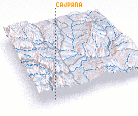 Places with similar names to Cajpana, Bolivia ::
// Kāhjū-e Pā'īn (IR)
// Cajapuni (PE)
Disclaimer :: Information on this page comes without warranty of any kind |
||
|
Where is Cajpana? Elevation and coordinates ::
Latitude (lat): 20°55'0"S Longitude (lon): 65°50'0"W
Elevation (approx.): 3787m (map arrows pan, magnifying glasses zoom) |
||
|
Visiting Cajpana? Hotel/Accommodation ::
Book a hotel in Cajpana Travel Guide ::
Buy a travel guide for Bolivia rental cars ::
car rental offers GPS waypoint ::
download a GPX waypoint (PoI) of Cajpana for your GPS receiver
|
||