|
search place name
|
||
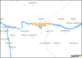
Chilaguata (La Paz, Bolivia)Chilaguata is a town in the La Paz region of Bolivia. An overview map of the region around Chilaguata is displayed below.
regional and 3d topo map of Chilaguata, Bolivia ::
Chilaguata airports ::
The nearest airport is LPB - La Paz El Alto Intl, located 110.5 km north of Chilaguata.
Other airports nearby include TCQ - Tacna Coronel Carlos Ciriani Santa Rosa Intl (213.2 km west), ARI - Arica Chacalluta (230.7 km south west), Nearby towns ::
Jucumarini (1.9km south) //
Pucará (3.7km north) //
Kachu (3.7km north) //
Huanuni (4.1km north east) //
Llayalla (4.0km south east) //
Challachurca (4.0km north west) //
Uta Utani (5.1km south west) //
Churicala (5.1km south west) //
Callapa (5.6km west) //
Callapa Chica (7.6km south) //
Kaka-Chica (7.3km west) //
Urcilla (8.0km south west) //
Juanillo (10.2km south east) //
[all distances 'as the bird flies' and approximate] 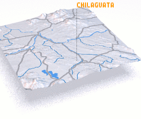 Places with similar names to Chilaguata, Bolivia ::
// Chilcoot (US)
// Shelqet (AL)
// Chilekta (RU)
// Chālek Deh (IR)
// Chālī Kīādeh (IR)
// Chāl Kīādeh (IR)
// Cholqādī (IR)
// Chilcutt (US)
// Shelocta (US)
// Chāluākāti (BD)
Disclaimer :: Information on this page comes without warranty of any kind |
||
|
Where is Chilaguata? Elevation and coordinates ::
Latitude (lat): 17°30'0"S Longitude (lon): 68°21'0"W
Elevation (approx.): 3794m (map arrows pan, magnifying glasses zoom) |
||
|
Visiting Chilaguata? Hotel/Accommodation ::
Book a hotel in Chilaguata Travel Guide ::
Buy a travel guide for Bolivia rental cars ::
car rental offers GPS waypoint ::
download a GPX waypoint (PoI) of Chilaguata for your GPS receiver
|
||