|
search place name
|
||
Cortadera (Tarija, Bolivia)Cortadera is a town in the Tarija region of Bolivia. An overview map of the region around Cortadera is displayed below.
regional and 3d topo map of Cortadera, Bolivia ::

Cortadera airports ::
The nearest airport is BYC - Yacuiba, located 44.7 km south of Cortadera.
Other airports nearby include TJA - Tarija Capitan Oriel Lea Plaza (124.5 km west), BJO - Bermejo (156.2 km south west), ORA - Oran (193.6 km south west), Nearby towns ::
Los Sotos (3.9km south west) //
Timboy (6.9km west) //
Agua Rica (7.6km north) //
La Soledad (7.1km east) //
Sachapera (7.6km south west) //
Abanay (7.6km north west) //
Cañón Seco (8.2km south west) //
[all distances 'as the bird flies' and approximate] 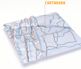 Places with similar names to Cortadera, Bolivia ::
// Cortadera (PA)
// Corte do Ouro (PT)
// Kurtdere (TR)
// Kurtdere (TR)
// Kurtdere (TR)
// Kurtdere (TR)
// Cortadera (CL)
// Cortadero (CL)
// Curtiduría (CL)
// Cortadera (CO)
Disclaimer :: Information on this page comes without warranty of any kind |
||
|
Where is Cortadera? Elevation and coordinates ::
Latitude (lat): 21°35'0"S Longitude (lon): 63°30'0"W
Elevation (approx.): 561m (map arrows pan, magnifying glasses zoom) |
||
|
Visiting Cortadera? Hotel/Accommodation ::
Book a hotel in Cortadera Travel Guide ::
Buy a travel guide for Bolivia rental cars ::
car rental offers GPS waypoint ::
download a GPX waypoint (PoI) of Cortadera for your GPS receiver
|
||